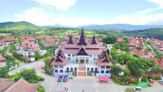
Ouhai Town, Ouhai County, Xishuangbanna Dai Autonomous Prefecture, Yunnan Province, China
View on Map
What travelers say:
The location is far from Bohai County. It is not the best to drive in the direction of Daluo. The best thing to eat is that the red bean porridge is sweeter than the red bean rice porridge. The dining environment is good and you can park at the door.
More
Reviews of 拉祜人家
Some reviews may have been translated by Google Translate


The location is far from Menghai County. If you are going to Daluo, it is best not to go there unless you drive. The best food is the red bean porridge, which is sweeter and more delicious than red bean rice. The dining environment is good and you can park at the door.
#The name of the place to escape the summer is from Huimin Town due to the homonym of the slang name "back to life". The slang word "back" is for the scorpion, "life" is for the bear, meaning the bear is more scorpion. Huimin Town is a subtropical mountain monsoon humid climate. Its characteristics are that the climate is mild, the four seasons are not obvious, only the rain and dry season. Average temperature for many years 20.5℃, average temperature for January 15.0℃, extreme minimum temperature 2.8℃ (January 4, 2011); average temperature for July 23.0℃, extreme maximum temperature 36.5℃ (May 7, 2011). Minimum monthly average temperature 7.8℃ (February 2011, 2011), maximum monthly average temperature 32.8℃ (April 2010). Annual average temperature 19.7℃. The average annual growth period is 310 days, the frost-free period is 345 days, the maximum length is 355 days, and the shortest is 300 days. The average annual sunshine hours are2228.4 hours, the average annual precipitation is1535.4 mm, and the average annual precipitation days are 159.9 days. The maximum rainfall in extreme years is2000.8 mm (1983), and the minimum rainfall in extreme years is 1358 mm (2010). The rainfall is concentrated in May-October and July. Huimin Town is located in the southern section of the Nushan Mountains of the Hengduan Mountains, and the terrain is relatively flat. The main mountains are Fulahoushan, Malashan, Kongmingshan and Guangmenggen Mountain. It is located in the west of Nanlang River in Jingmai and Mangjing 2 villages, and the east of Nanlang River in Mangyun, Dry Valley Ping and Fula 3 villages are relatively flat terrain, which is a mountainous semi-ba area. The highest point in the territory is located in Fulahoushan, with an altitude of 1781 meters; the lowest point is located at Jingmai Nanlang River Bridge, with an altitude of 840 meters.