https://ph.trip.com/moments/destination-innsbruck-791/
2025 Innsbruck Travel Guide: Must-see attractions, popular food, hotels, transportation routes (updated in April)
Innsbruck is the capital of Tyrol in western Austria and the country’s fifth-largest city by population. Innsbruck is known as a world-renowned winter sports destination, having hosted the Winter Olympics in 1964 and 1976. The city sits in a broad valley between high mountains, resulting in a picturesque setting that’s great for photography. Gothic, Renaissance, and Baroque architecture mingle effortlessly with modern designs in the city center. Truly Innsbruck is a magical destination.
Show More
Innsbruck Today's Weather
Mostly clear 3-16℃
Popular Innsbruck in Attraction
Golden Roof
(10)Altstadt von Innsbruck
(6)Maria-Theresien-Straße
(3)Triumphal Arch
(2)St. Anna's Column (Annasaule)
(1)All Moments About Innsbruck
Innsbruck, Austria's gateway to the Alps
#2024TravelReview On the way from Munich to the Dolomites in Italy, we stopped at the beautiful mountain town of #Innsbruck in Austria. Since it is close to the Alps, you can take pictures of the majestic snow-capped mountains behind you from the city streets, so it is also a popular tourist attraction. The city of Innsbruck is not large, but it has a superior geographical location and the Alps as its unique backdrop, so it is quite photogenic. The Goldenes Dachl, the golden roof, and the Stadtturm, the town hall tower, located in the downtown area, are arguably the most famous buildings in Innsbruck. The cathedral and the Hofburg are also not to be missed. The Innsbruck Cathedral, Dom Zu St. Jakob, was originally a typical Gothic building, but it was rebuilt in Baroque style after a fire. The painting "Madonna and Child" on the main altar is very famous. Innsbruck also has a royal palace, but it is not as large. By the way, there are also two attractions outside the tourist service center, namely the Annasäule, which commemorates the eradication of the Black Death, and the Arc de Triomphe, which can be seen in many European cities. #SwissTravel #Alps #InnsbruckMoutain5Innsbruck: The Jewel of the Austrian Alps
#europetrip Nestled in the heart of the Austrian Alps, Innsbruck is a captivating blend of alpine charm and urban sophistication. This vibrant city is famous for its stunning mountain backdrop, rich history, and endless opportunities for adventure, making it a must-visit destination for all travelers. Start your journey in Innsbruck’s Old Town, where narrow cobblestone streets lead you to iconic landmarks like the Golden Roof (Goldenes Dachl), a shimmering structure adorned with nearly 3,000 gilded tiles. Nearby, the Imperial Palace (Hofburg) and St. Jacob’s Cathedral offer glimpses into Austria’s royal past and architectural splendor. For panoramic views, take a ride on the Nordkette Cable Car, which whisks you from the city center to the peaks in under 30 minutes. At the top, you’ll find breathtaking vistas and opportunities for hiking, skiing, or simply enjoying a cup of hot cocoa while soaking in the scenery. Innsbruck is also a hub for winter sports, having hosted the Winter Olympics twice. From skiing and snowboarding to ice skating and snowshoeing, the city is a paradise for snow lovers. After a day of exploration, relax at one of Innsbruck’s cozy cafes or indulge in traditional Tyrolean cuisine. Don’t miss **Siggy173Innsbruck, the pinnacle of crystal and iceberg, is worth your visit
Austrians love music, and the classical music of Vienna still influences many people to this day. Innsbruck is like the leaping notes on 'The Blue Danube' waltz, embedded in the musical score of the Alps . Innsbruck not only has millennia-old glaciers , clear yet profound lakes, but it is also home to the headquarters of the globally renowned crystal brand Swarovski. There are so many reasons to visit; you could be a hiking enthusiast, a diving enthusiast, or perhaps, just a lover of beauty, you should also make the trip. 👍Highly recommended: The Imperial Roof This was once the royal residence and is now the symbol of the entire city. The golden roof silently tells of past glories under the setting sun. The Triumphal Arch Different from the Arc de Triomphe in France, this Triumphal Arch was built by the former empress to celebrate the prince's grand wedding, and it is also a testament to love. St. Theresa's Church Located in the old town of Innsbruck, nestled against the Karwendel mountain range, its majestic Gothic architecture stands out, with a large number of frescoes and sculptures both dry and wet inside. Anna's Column Anna's Column contemplates the spirit of Innsbruck and also commemorates everyone who drove away the Bavarian troops that year.AMBER CASTRO45Innsbruck, Austria
PM_15Snowpiercer filming location Innsbruck
#DramaFilmingLocation Innsbruck is a city that is especially beautiful in winter. It is also famous as the filming location for Snowpiercer. It is a city with beautiful clean nature and beautiful buildings, making it a great place to visit.안녕솔11★Trip Mome
★Trip Moments In My Life★ M.005: Innsbruck is a colorful, picturesque city in western Austria. It nestled in the Alps valley and surrounded by enormous snow-capped mountains. Innsbruck is also known as a famous sports city, which is the only one that has held the Winter Olympic Games for 3 times. - Sep.30, 2006Yuanjie45The girl's
The girl's heart-studded Austria's most beautiful pink church, Jesuit Church , is not far from the St. Stephen's Cathedral, but the jesuit church is not far away, but this is what I want. On this trip, I saw the fairytale blue church and saw the pink church that was enough to break the girl's heart. How lucky it was. The pink reality inside the church and its ordinary appearance can't make a huge "contrast sprout". Who can think of a church with such a simple surface, which can hide such a pink ocean inside. This is a Catholic church, completely without tourists, very quiet. Recommend everyone with a girl's heart, you can come here to see. The church is located in the heart of Vienna, Austria, just a ten minute walk from St. Steve Cathedral.MagicRabbit.13After lear
After learning about Europe, I fell in love with the market. No matter which country, it seems that the market is very popular, there are all kinds of food and beauty. In Austria, we have time to visit this market. Let's not talk about the things that are sold in the market. The atmosphere is enough to make people fascinated. It seems that Europeans also love chestnuts, and there are many stalls selling chestnuts at the entrance to the Louvre. A table, standing to eat, standing and drinking mulled wine, this is the normal state of the ancient city of Innsbruck. There are many creative sculptures on the street, mostly in fairy tale style. There are also a lot of people who are entertaining, very interesting. Super nice Christmas grandfather, took me to take a photo, very cute. In addition to the usual market that is open on weekends, there will be a special Christmas market during Christmas, which sells mostly Christmas-themed items.Rachel Yu.6Innsbruck: A Detailed Hiking Guide to Seegrube on the Nordkette
🚗 Overview The scenery is quite good, with a wide field of vision at the top, but the route has some difficulty. It is 20 km round trip from the city center, with both footpaths and bicycle paths along the way. However, the scenery is slightly monotonous after reaching the open area on the mountain, and there are many uphill climbs exceeding 45 degrees in the second half, with snowy roads at the top. This time, due to time constraints, I only went to Seegrube, which is a cable car station. The cable car can continue up to Hafelekarspitze, but I didn't continue up this section due to time constraints. The rest of the route is all thick snow. If you have time, you can try it. If you don't have time, take the cable car, or hike half the distance and take the cable car for the other half 🚡. 🚗 Hiking Details 1. Navigate directly to the foot of the mountain. The first 1 km (before the stairs) is all city roads, and there is a short climb before reaching the footpath. 2. Then, there is a short section of steps, followed by a small path, about 1 km in total. 3. At the junction of the small path and the road, you will see a sign for hiking. Here, you can go straight along the small path to Gramart, which is 6.5 km away. There is a fork in the road just after entering. Take the main road. 4. After walking about 1 km on the small road, you will reach a road intersection. The sign instructions change. You can walk along the road, or go straight here on a small path. The road is a U-shaped bend, which is closer and has great scenery! You can see the snow-capped mountains in the woods. 5. ⚠️ High energy! From 4 km onwards (roughly when you start moving forward under the cable car), all the climbs exceed 45 degrees! I saw other bloggers say that the climb was steep before, and this is indeed the case, but you can choose to take the bicycle path, which has a smaller slope. 6. Most of the later roads are bicycle S-bends, but there are also small paths that can reduce the bends, but the slope is larger. However, it feels like the time taken is about the same. 7. The last 300m is all covered with ice and snow. It is best to follow the footprints. 8. The one-way trip is 10 km, with an elevation gain of 1,300m. Because I didn't have lunch, I felt very hungry and walked very slowly. It took me 4 hours to go up from 12:30 pm. It took me less than 2 and a half hours to come down about 10 km. 🚗 Precautions 1. If you are on a road or a vehicle road, it is best to walk on the side and pay attention to off-road bicycles. 2. There are no supplies on the way up the mountain, so bring your own supplies and water. 3. Some small roads have muddy surfaces, but not many. Pay attention to safety on the ice and snow-covered roads. It is best to wear hiking shoes, but it doesn't make a big difference if you don't. 4. There is a restaurant at the top of the mountain, Restaurant Seegrube, which has a nice environment. This restaurant is next to the cable car station, so many tourists who come up by cable car take photos and check in here. However, it closes at 5 pm, and you can't order any food after 4:30 pm, only drinks. The service attitude is slightly poor, which affects the mood a bit. 5. The cable car seems to stop running at 5 pm, so pay attention to the time. Sometimes the cable car may be out of service.vance_36474 Days in Innsbruck
📍 Itinerary Overview 🚩 Sightseeing Route 🏖️ Must-Visit Attractions 🚇 Transportation 📷 Photo Spots 🍜 Local Cuisine 🏠 Accommodation 1.Hotel Tautermann 💡 Tips#topofinnsbruck #oberpersfuss #markthalleInnsbruck #mariatheresienstrabez3shuįInnsbruck's Golden Roof and Old Town
#AustraliaFlightEvent #InnsbruckTravel #GoldenRoof I saw the Golden Roof, which is said to bring good luck, during my trip to Innsbruck! They say the roof is made of real gold, and it was so shiny and amazing how they maintained it ㅋㅋㅋ There were many stores in the old town with colorful iron signs, and I thought they expressed each store's symbol well!키키영See All of Innsbruck in a Day
Innsbruck, the capital of Tyrol, Austria, is nestled in the heart of the Alps and is renowned for its snow-capped mountains, medieval old town, and Winter Olympics heritage. This small city, where "snow mountains meet Baroque," offers a one-day tour that encapsulates the essence of nature and culture. Morning: Old Town Stroll + Panoramic Mountain Views Heart of the Old Town: Golden Roof and Historical Echoes Golden Roof (Goldenes Dachl): Check in at Innsbruck's landmark, a 15th-century Gothic balcony covered with 2,657 gilded copper tiles, once the emperor's "VIP box" for viewing celebrations. It is recommended to visit early in the morning to avoid crowds and capture the moment when the golden light interacts with the morning sun. Maria-Theresien-Straße: Stroll down the main street and enjoy the magnificent view of the Nordkette mountain peaks (best photo spot: in front of St. Anne's Column). Hofburg Imperial Palace: The winter residence of the Austro-Hungarian imperial family, the Baroque hall's frescoes and the Hall of Mirrors are worth seeing (open from 9:00 am to 5:00 pm, tickets cost EUR 12). Nordkette Cable Car: From the Old Town to the Clouds Hungerburgbahn Cable Car Station: Take the futuristic cable car designed by Zaha Hadid from the city center, with four transfers directly to the 2,300-meter snow-capped peak (round-trip cable car ticket costs EUR 44, free with the Innsbruck Card). Summit Experience Top of Innsbruck observation deck: 360-degree panoramic views of the Alps and the Inn Valley. Hiking trails (summer): Walk along the ridge trail and encounter chamois. Ice Q Restaurant: Filming location for the James Bond movie *Spectre*, enjoy a cup of hot chocolate overlooking the glacier. Lunch: Tyrolean Flavors 12:30 pm–1:30 pm Mountain hut or old town restaurant Gasthof Goldener Adler (Old Town): A traditional restaurant with 500 years of history Afternoon: Art, Crystals, and Olympic Heritage Swarovski Kristallwelten (Swarovski Crystal Worlds)** Transportation: Take the Swarovski shuttle bus from the city center (approx. 20 mins, one bus per hour, round-trip costs EUR 6). Highlights: Giant crystal head entrance, Yayoi Kusama's mirror room, crystal cloud installation, more like an art museum than a shop (tickets cost EUR 23, discounts available with the Innsbruck Card). Olympic Heritage and Riverside Relaxation Bergisel Ski Jump: A futuristic ski jump designed by Zaha Hadid. Take the elevator to the observation deck for panoramic city views (tickets cost EUR 12). Evening: Cathedral of St. James (Dom zu St. Jakob) Baroque-style cathedral, the interior dome fresco "Coronation of the Virgin" is stunning, and the evening light through the stained glass is extremely beautiful (free admission, donations of EUR 1–2 are welcome). Dinner Recommendation: Alpine View Terrace Lichtblick Sky Bar: Rooftop terrace restaurant, order a Wiener Schnitzel and enjoy it with the sunset over the snow-capped mountains. Here, you can experience a "seamless transition between city and wilderness"—enjoying coffee in the Baroque old town in the morning and standing atop a snow-capped mountain touching the clouds in the afternoon. Whether you are an architecture enthusiast, an outdoor adventurer, or a culture lover, this Alpine city can offer you the most concentrated European charm, allowing you to see a thousand years of Central European history in a single day.EternalAdventures🇦🇹Innsbruck🇦🇹, facing the Alps from the beginning to the end of the trip
#EuropeanTravel #OverseasTravel #Austria #Innsbruck #InnsbruckTravel I visited Innsbruck, Austria, which is less familiar than Vienna and Salzburg, but offers more Alps to experience‼️ I was dizzy from the moment I got off the airport and entered the city center by the magnificent Alps that unfolded before my eyes! The cleanliness I could feel from the air🌱 made me feel good from the start of the trip!! Since it is a city surrounded by the Alps, I could see the Alps from anywhere, and I could climb the Alps myself! I bought the Innsbruck Card and took the Nordkette Cable Car to the ‘Top of Innsbruck’, and it was so soft ❄️ I stepped on the snow and saw the winter wonderland, and the view of the city from the top of Innsbruck was really beautiful! The Inn River and colorful houses••❤️ After coming back down to the city center, I walked along the Inn River and watched the sunset of the Alps. Isn't the sunset reflected on the white snow so beautiful?!☀️🥺 When you think of Innsbruck, I also visited the must-see tourist attraction, 'Swarovski Crystal World💎', and finished the day by eating schnitzel and ribs‼️ It was a short, regrettable trip of 1 night and 2 days, but I made precious travel memories that I will cherish for 10 or 20 years••💕키키영2🇦🇹 Innsbruck 🏔️
#AustriaTravel #Innsbruck #Cable Car 🚇Transportation strategy: ÖBB Railjet (Austrian Federal Railways), Flixbus (international bus) 🏔️Must-see attractions: Golden Roof One of the landmarks of Innsbruck, it was built in 1500. The roof is made up of 2,657 gold-plated copper tiles. Visitors can enter the museum to visit. Nordkette Innsbruck is a very famous ski resort. You can take the cable car to an altitude of about 2,300 meters. There are trails for walking or skiing. It is a good choice. Maria-Theresien-Straße It is one of the busiest streets in Innsbruck, with many restaurants and shops on both sides to meet shopping and dining needs🍽️ Town Hall Tower (Stadtturm) The tower is 31 meters high. You can climb up the spiral staircase to the 360-degree observation deck to enjoy the city view of Innsbruck. 🏨Recommended restaurants: MEININGER Hotel Innsbruck Zentrum The hotel chain has a clean and tidy environment and the service attitude of the counter staff is very good👍 ☕️Must-eat food: Stiftskeller A restaurant where you can enjoy traditional Austrian cuisine. There are indoor and outdoor spaces. You can also come here to order a beer and enjoy the afternoon. House of Tea & Coffee - Innsbruck A beautifully decorated cafe where you can order a cup of coffee or tea and enjoy the music and atmosphere in the store☺️ Innsbruck is a beautiful city where you can enjoy both the natural landscape and the city's style. If you have the opportunity to come here, you must take the North Mountain Cable Car. The scenery there is really magnificent☺️陳皎婕Tyrolean food in Innsbruck
Went to this Austrian restaurant in Innsbruck to try Tyrolean cuisine. The restaurant is charming starting from its door and finishing its interior and staff service. The restaurant has a very nice traditional decor and the food is delicious. The restaurant has several levels and is very massive and impressive. The location is very convenient, just in the heart of old city. #celebrateitEketiko1Austria is so beautiful
#europetravel 🇦🇹 Austria is so beautiful that your heart trembles. When you visit Austria, you will be immersed in a rich cultural atmosphere and magnificent natural scenery. 🎈 ⛲ Vienna: As the capital of Austria, Vienna is a temple of classical music 🏰。 Meiquan Palace is renowned for its Baroque style gardens and palace architecture, making it a great place to learn about the history of the Austrian royal family. The National Opera House is a pilgrimage site for music enthusiasts, often hosting world-class opera performances. 🏰 Salzburg: This city is famous for Mozart ✨, Mozart's former residence allows you to experience the life trajectory of this musical genius up close. Salzburg Fortress provides an excellent panoramic view of the city, making it a popular choice for photography enthusiasts 📷 The first choice. 🏔️ Hallstatt: hailed as one of the "beautiful towns in the world" 🖼️, Hallstatt boasts its peaceful lakeside scenery 🎑 The unique architectural style attracts countless tourists. Hallstatt Lake is the soul of this place, and you can choose to take a boat tour of the lake and enjoy the scenery of the lake and mountains 🏞️。 ⛷️ Innsbruck: As the capital of Tyrol, Innsbruck has a golden roof 🔝 This iconic building showcases the glory and luxury of the Middle Ages. In addition, Innsbruck is also a popular destination for winter sports, and the North Link Ski Resort is a ski resort ⛷️ A paradise for enthusiasts. #travel #europetrip #historicallandmarks #localguides #familytrip #tripExplore Natural BeautyAn airport in the mountains
#celebrateit A marvelous airport located by the Alps. Perhaps, one of the most beautiful airport even. The landing and take off there is one of a kind. Scenic views are such a great advantage. We could have reached Innsbruck by train but heard that t flying there will leave unforgettable memory and it was really so.Eketiko2Wonderful streets of Innsbruck
#celebrateit Streets of Innsbruck are truly beautiful in any weather even during the rain they are becoming more mysterious and attractive. Here is my recommendation where to walk: Stadtturm, a landmark watchtower Golden Roof, a beautifully decorated residence Court Church Innsbruck Hofkirche Innsbruck, a stunning gothic church All the places are next to each otherEketiko1Good coffee place in Innsbruck
#celebrateit A cozy place in the central of Innsbruck with a nice coffee. The staff is really welcoming and helpful. The cafe is small but you can take a coffee to go and explore the square with its beautiful architecture and atmosphere. The price is very affordable and the taste is delicious. ☕️ Place: manni.coffee 📍Address: Anichstraße 2, 6020 Innsbruck, AustriaEketiko1Romantic spot in a rainy weather
#celebrateit Top of Innsbruck is a must see place, and even the weather was rainy during our visit we still decided to go to the top and didn’t regret at all. The views were beautiful: mountains covered in clouds and a little rain created a special atmosphere with no people around. Recommended to buy a ticket as a package included in Innsbruck card. Note, if you buy a card online not in the office and do it during evening you need to go to activate your card in the office because online cards automatically firing working when the day is over.Eketiko1Wonderful weekend in Innsbruck
I've been wanting to visit Innsbruck for a long time, and in mid-February I succeeded. It is a very pleasant city surrounded by the Alps. It was a great pleasure for me to walk along the Inn River embankment and discover that the artist Durer stopped in Innsbruck on his way to Venice. Highly recommended to have a dinner in the restaurant Stiftskeller which is opened all days till 22:00. #innsbruck#austrianalpsLiuba SInnsbruck 3 Days Travel Guide
📍 Itinerary Overview 🚩 Sightseeing Route 🏖️ Must-Visit Attractions 🚇 Transportation 📷 Photo Spots 🍜 Local Cuisine 🏠 Accommodation 1.Hotel Tautermann 💡 TipsWJH888Skiing on Top of the World at Nordkette
#skitrip #travel #winter #thingstodo #austria #innsbruck For a spectacular ski adventure with breathtaking alpine views, Nordkette in Innsbruck is an absolute must-visit. Located just 20 minutes by cable car from the city center, this ski destination offers challenging slopes, fresh powder, and a stunning overlook of Innsbruck and the surrounding peaks. Whether you’re tackling the daring Hafelekar Run, one of Europe’s steepest, or unwinding at Cloud 9 Igloo Bar, the experience is nothing short of incredible. Perfect for adrenaline junkies and nature lovers, Nordkette is a winter wonderland you won’t forget!Bryxwong#historica
#historicallandmarks #familytripKuldeep29Tyrol
#celebrateit Tyrol is a wonderful state located in Western Austria. Resting in the Alps, this place is a popular ski resort destination. There are also many historic sites including Ambras Castle, Ehrenberg Castle and Kufstein Fortress. You will also find some of the most exciting museums in Tyrol. Other than this, Tyrol is the hub of many famous winter festivals in Europe that you must attend. Count it in your list of the best places to visit in Austria in Sepember. The popular city of Innsbruck is the capital of Tyrol. This place features ancient gothic churches and traditional baroque-style buildings and palaces. Tyrol is one of the best places to visit in Austria for anyone who is looking forward to exploring a place with natural beauty and historical relevance.NicoleStanciuInnsbruck
Innsbruck #austria #travel #innsbruck Beautiful city in Alps mountain of Austria. Enjoy walk approximately 3 hours. เมืองสวยท่ามกลางหุบเขาแอลป์ประเทศออสเตรีย สามารถเดินเที่ยวสบายๆในเมืองได้ประมาณ 3 ชั่วโมงก็เก็บครบ บ้านเมืองสวยพร้อมวิวภูเขาน้ำแข็งGOGO Voyage the worldInnsbruck 3 Days Itinerary
📍 Itinerary Overview 🚩 Sightseeing Route: markplatz, golden roof, town square, annasaule, Maria theresein street, triumphpforte, Nordkette 🏖️ Must-Visit Attractions: as above 🚇 Transportation: Welcome card from hotel will allow you to access to free public transport ride. This does not include the cable to go to Nordkette. 📷 Photo Spots: great photo with Alps, crystal clear Inn River and the colourful houses. 🍜 Local Cuisine: Stiftskeller for the Austrian cuisine; Weiko for Japanese Asian cuisine; Happy Wok for Chinese cuisine. 🏠 Accommodation 1.Adlers Hotel Innsbruck: room is stunning with Panaromic view of the alps. Clean and comfortable. Suitable for lady who travels alone as the location is safe and not far from public transport. Great variety of breakfast option. Friendly staff made everything better. 💡 TipsWanderlustYiHiking Up Nordkette in February: A Winter Wonderland Adventure
#outdooradventure #travel #hiddengems #favouriteitinerary #europetrip If you're visiting Innsbruck, Austria, a hike up the Nordkette mountain range is a must—even in February! While we didn’t make it all the way to the peak due to the snowy conditions, the journey was still absolutely worth it. The Experience 🌨️ Snowy Trails: Hiking in February meant we were surrounded by a blanket of pristine snow, which made the landscape even more magical. The trails were manageable, but sturdy winter boots were essential! 🏔️ Stunning Views: Even without reaching the summit, the panoramic views of Innsbruck and the surrounding Tyrolean Alps were breathtaking. The contrast of the snow-covered peaks against the deep blue sky was unforgettable. ❄️ Winter Serenity: The quiet of the snowy trails was incredibly peaceful. It felt like we were walking through a winter postcard! Travel Tips 🔹 Gear Up: Dress in layers, wear waterproof boots, and bring trekking poles for extra stability on snowy paths. 🔹 Start Early: The shorter daylight hours in winter mean you’ll want to begin your hike early to enjoy the best views. 🔹 Take Breaks: The Seegrube station offers a cozy spot to warm up with a hot drink and admire the view. While snow kept us from the peak, the beauty of the journey was enough to make this hike a highlight of our trip. Whether you're an avid hiker or just looking for a scenic winter outing, Nordkette in February offers an adventure like no other. Ready to explore? Book your Innsbruck trip now with Trip.com!wxyyyyzzzzzzzzzz

Popular Innsbruck Topics

Attractions
90 posts

Guides
53 posts
Thorough Guides
27 posts

Destinations related to Innsbruck

Venice
916 posts
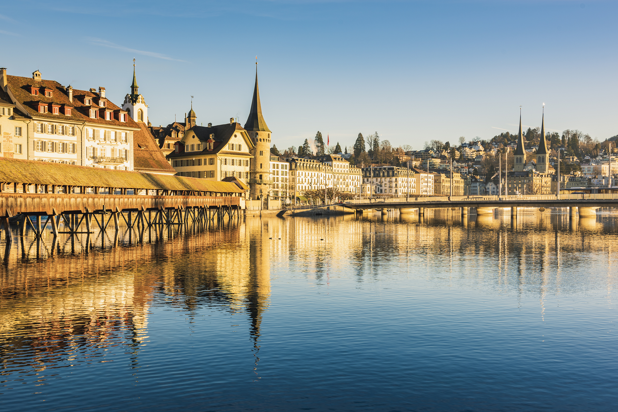
Lucerne
281 posts
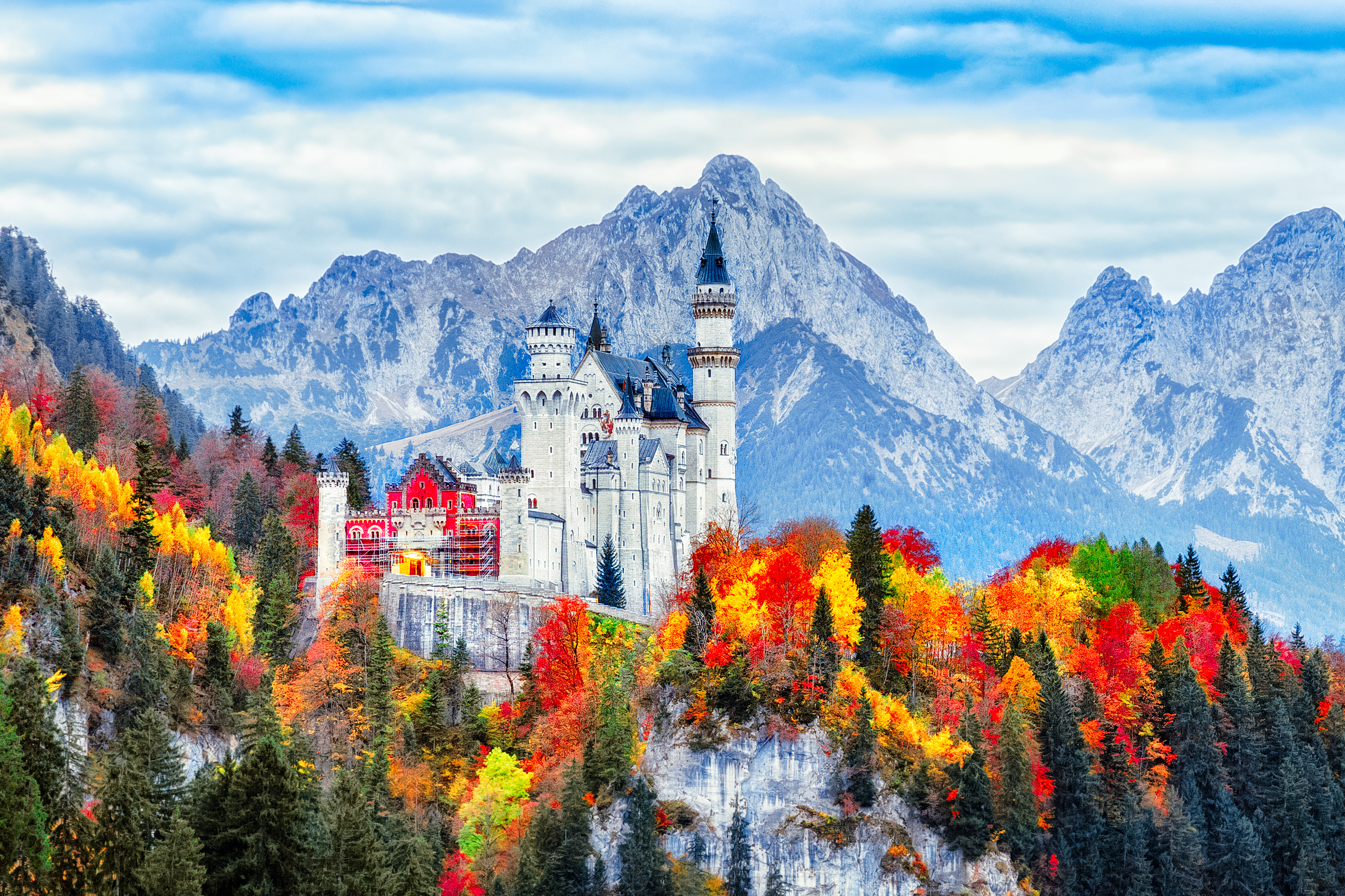
Schwangau
217 posts
- 1
- 2
- 3
- 4
Post
More Recommendations
Popular Travel Types
Popular Trip Moments
Innsbruck: A Detailed Hiking Guide to Seegrube on the Nordkette | See All of Innsbruck in a Day | 🇦🇹Innsbruck🇦🇹, facing the Alps from the beginning to the end of the trip | 🇦🇹 Innsbruck 🏔️ | Wonderful weekend in Innsbruck | Skiing on Top of the World at Nordkette | 13-day European tour: this guide will help you enjoy your trip without regrets | A Wild Adventure at Alpenzoo Austria 🇦🇹 | Innsbruck Austria 🇦🇹 Christmas house 📸 | Innsbruck's Golden Roof and Old Town | Tyrolean food in Innsbruck | An airport in the mountains | Wonderful streets of Innsbruck | Good coffee place in Innsbruck | Romantic spot in a rainy weather | Innsbruck | Innsbruck 3 Days Itinerary | Hiking Up Nordkette in February: A Winter Wonderland Adventure | Came snow with me | The Alps in Eastern Europe! Innsbruck | The cute town of Innsbruck🇦🇹🤍 | Alps of Austria - Innsbruck Hafelekarspitze | Innsbruck: A City of Colorful Charm | Innsbruck---Austria's Winter Olympic city. | Ring in the New Year in the Alpine Charm of Innsbruck | Austria’s snow beauty 🩷❤️ | The view from the top of the mountain in Innsbruck, Austria is crazy! | Innsbruck, Austria | Innsbruck, Austria's gateway to the Alps | Innsbruck: The Jewel of the Austrian Alps
Recommended Attractions at Popular Destinations
Bangkok attraction near me | Manila attraction near me | Tokyo attraction near me | Taipei attraction near me | Hong Kong attraction near me | Seoul attraction near me | Kuala Lumpur attraction near me | Los Angeles attraction near me | Shanghai attraction near me | New York attraction near me | Shenzhen attraction near me | Osaka attraction near me | Singapore attraction near me | London attraction near me | Guangzhou attraction near me | San Francisco attraction near me | Beijing attraction near me | Macau attraction near me | Bali attraction near me | Jakarta attraction near me | Paris attraction near me | Ho Chi Minh City attraction near me | Istanbul attraction near me | Phuket attraction near me | Chicago attraction near me | Seattle attraction near me | Toronto attraction near me | Orlando attraction near me | Cebu attraction near me | Chiang Mai attraction near me
Popular Restaurants in Innsbruck
Chinarestaurant Kaiser! | Lichtblick | Stiftskeller Innsbruck | WOOSABI Urban Oasis | Cafe Bugatti | Restaurant Voelser Bichl | Due Sicilie | TIAN XIANG LOU | Cafe Konditorei Peintner Innsbruck | Rauch Juice Bar | L'Osteria Innsbruck | Cafe Sailer | Restaurant Oniriq | Thai-Li-Ba | Restaurant Burkia | Cafe Munding | Tribaun | Gastgarten zur Eiche | Wang Fu | MANNA Delikat. | Soulkitchen Innsbruck | CasoinN da Giorgio | Ristorante - Pizzeria La Dolce Vita | Pizza Mann | Restaurant SKY | Ludwig Das Burger Restaurant | Jedermanns | Krahvogel | Planotzenhof | Sophies Biowelt
Popular Ranked Lists
Popular Luxury Hotels in Kathmandu | Popular Luxury Hotels in Astana | Popular Luxury Hotels Near Century City | Top 10 Luxury Hotels in Red Sea Governorate | Top 3 Best Things to Do in Yuyao | Top 10 Local Restaurants in Johannesburg | Popular Luxury Hotels in Nizwa | Top 5 Best Things to Do in Weinan | Top 3 Best Things to Do in Shuozhou | Popular Luxury Hotels in Wilaya de Fes | Top 3 Luxury Hotels in Dhaka | Popular Luxury Hotels Near Lazaro Cardenas Municipality | Top 20 Local Restaurants in Huangshan | Top 10 Local Restaurants in Newcastle | Top 10 Local Restaurants in Dusseldorf | Top 3 Luxury Hotels in Tashkent | Popular Luxury Hotels in Fes-Meknes | Popular Luxury Hotels Near Etretat | Top 19 Local Restaurants in Haikou | Popular Luxury Hotels in Dhofar | Top 10 Local Restaurants in Kamakura | Popular Luxury Hotels Near Varberg | Top 3 Best Things to Do in Fuzhou | Popular Best Things to Do in Ebian | Popular Best Things to Do in Boluo | Top 8 Best Things to Do in Aksu Prefecture | Top 19 Local Restaurants in Kashgar | Top 5 Best Things to Do in Zhaotong | Top 10 Local Restaurants in Quito | Popular Luxury Hotels in Dhulikhel
Payment Methods
Our Partners
Copyright © 2025 Trip.com Travel Singapore Pte. Ltd. All rights reserved
Site Operator: Trip.com Travel Singapore Pte. Ltd.
Site Operator: Trip.com Travel Singapore Pte. Ltd.